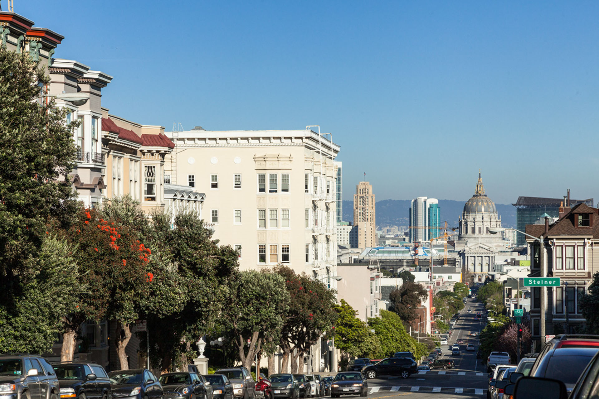
Lower Pacific Heights
Lower Pacific Heights, formerly known as Upper Fillmore, boasts rich heritage, soulful roots, and a vibrant multicultural blend just down the hill from its larger, tonier sister.
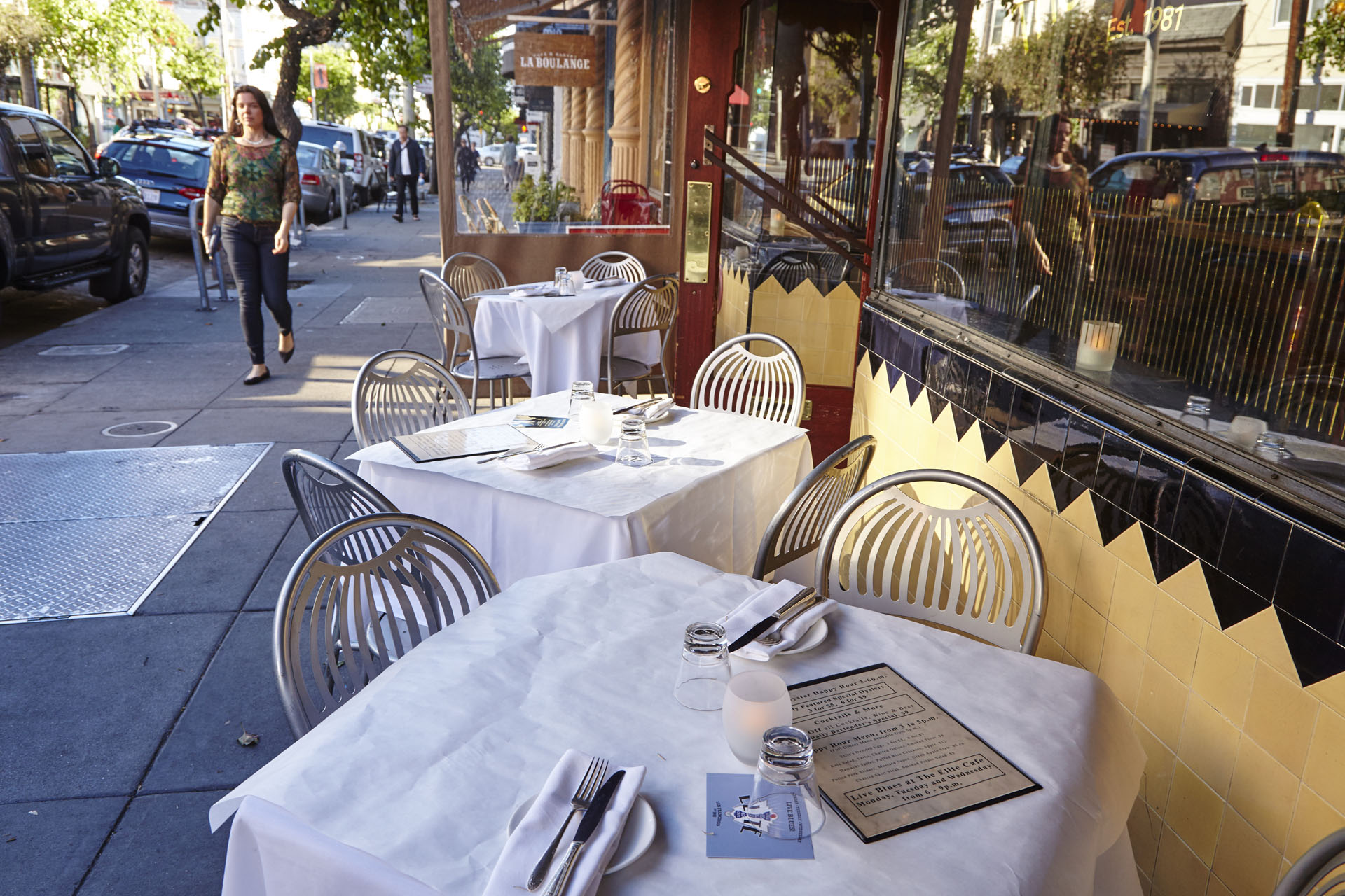
Dining, entertainment, and shopping options in Lower Pacific Heights mirror its diverse surroundings. Japantown is filled with delicious restaurants from high-end to casual (and in-between), as well as lively karaoke bars and the Kabuki Theater.
Musical and cultural history flow through Fillmore Street. Anchored by concert venue mainstays The Fillmore and Boom Boom Room, the main drag has trendy boutiques, bars, and acclaimed restaurants in droves.
Locals love Historic Cottage Row, where homes built during the late 1860’s and 1870’s sit next to a miniature park perfect for dog walkers or park bench readers. It perfectly embodies Lower Pacific Heights – a neighborhood that brings together old and new like few others in San Francisco.
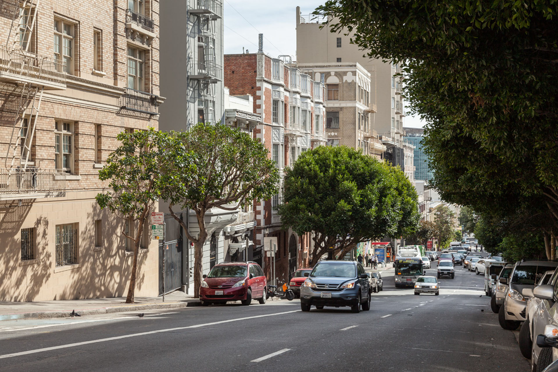
Buildings in Lower Pacific Heights
Lower Pacific Heights Map
Lower Pacific Heights is located between Pacific Heights, the Fillmore District, Laurel Heights, and Japantown. It is bound by California Street to the north, Geary Street to the south, Presidio Avenue to the west, and Van Ness Avenue to the east.
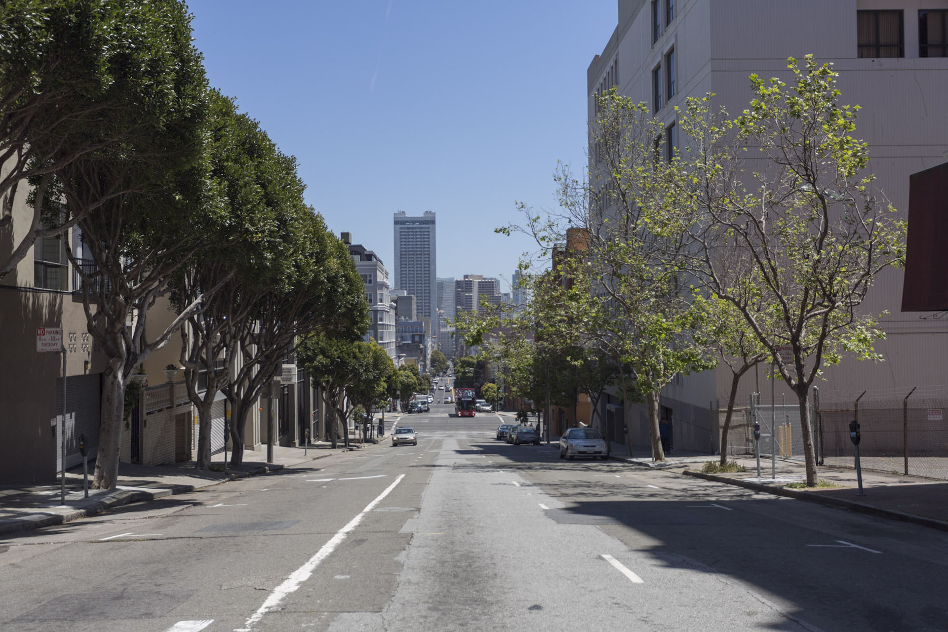
Lower Pacific Heights is offers walkability to Downtown and plenty of bus access via the 1-California, 3-Jackson, and 38-Geary lines, as well as nearby freeway access to the south for car commuters.
Walk Score
Explore Lower Pacific Heights
Other Neighborhoods
San Francisco
- Alamo Square
- Bernal Heights
- Castro
- Chinatown
- Downtown
- Forest Hill
- Haight Ashbury
- Hayes Valley
- Ingelside
- Ingleside
- Inner Richmond
- Inner Sunset
- Laurel Heights
- Lower Haight
- Lower Nob Hill
- Lower Pacific Heights
- Marina
- Mission
- Mission Dolores
- Nob Hill
- Noe Valley
- NOPA
- North Beach
- Outer Richmond
- Outer Sunset
- Pacific Heights
- Potrero Hill
- Russian Hill
- SOMA
- Tenderloin
- Western Addition
- Westwood Park